Projects
Showcasing our precision in land surveying.


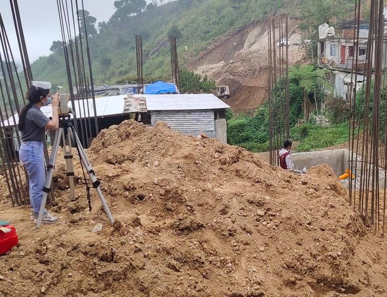
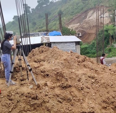
Site Survey
Detailed topographic surveys for complex terrains.


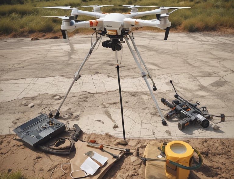
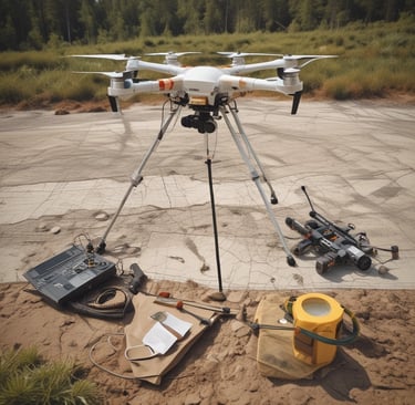
Aerial Mapping
High-resolution drone mapping with precise data capture.


Plan Production
Accurate sketch plans crafted from meticulous field data.
Consulting
Expert advice tailored to your land surveying needs.
→
→
→
→
Gallery


Snapshots from our recent surveying and geomatics projects
Subscription Plans
Flexible options tailored for your surveying needs